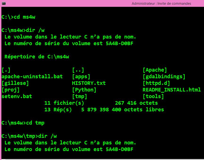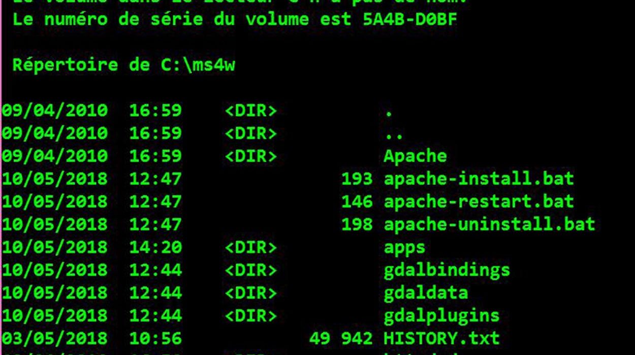

Geospatial Data Abstraction Library (GDAL) utilities
GDAL also has some powerful utilities. Several command-line data access/manipulation utilities are available. All use the GDAL libraries for tasks such as the following: gdalinfoInterrogates a raster/image file and gives information about the file. This command, when given a raster file/data source name, provides a listing of various statistics about the data, as shown in