


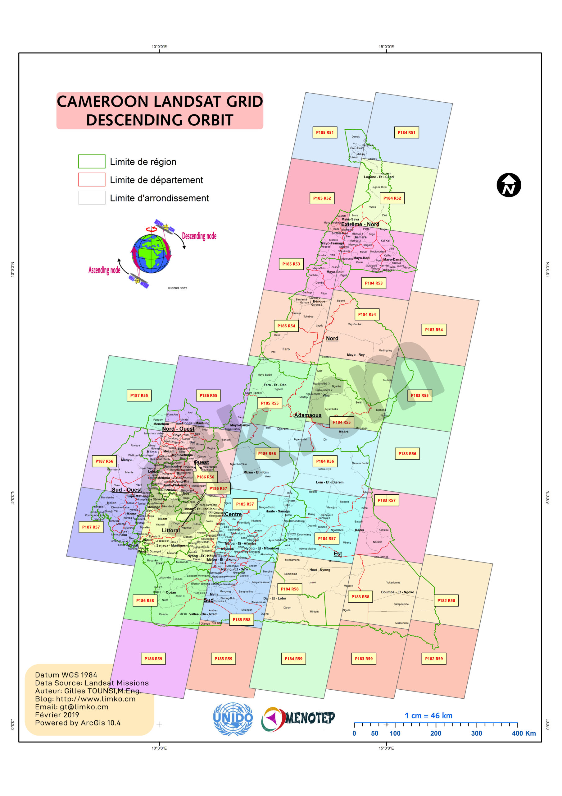
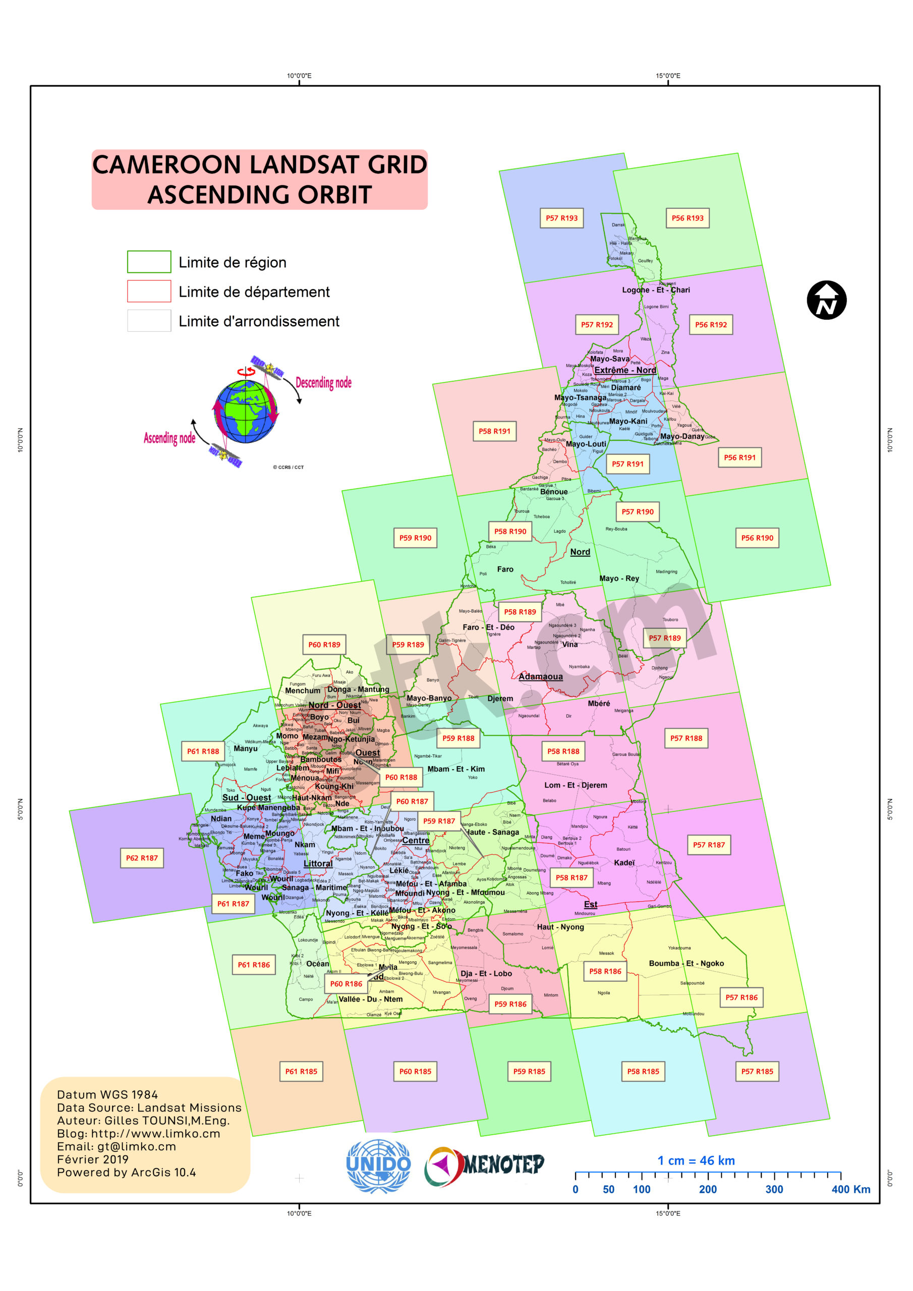
Landsat Satelittes divide his data capture by scenes named by PATH and ROW numbers
The Worldwide Reference System (WRS) is a global notation system for Landsat data. It enables a user to inquire about satellite imagery over any portion of the world by specifying a nominal scene center designated by PATH (P) and ROW (R) numbers.
The WRS-1 is assigned to Landsat 1-Landsat 3 for daytime (descending) and nigttime for ascending.
The WRS-2 is assigned for Landsat 4, 5, 6, 7 and 8.
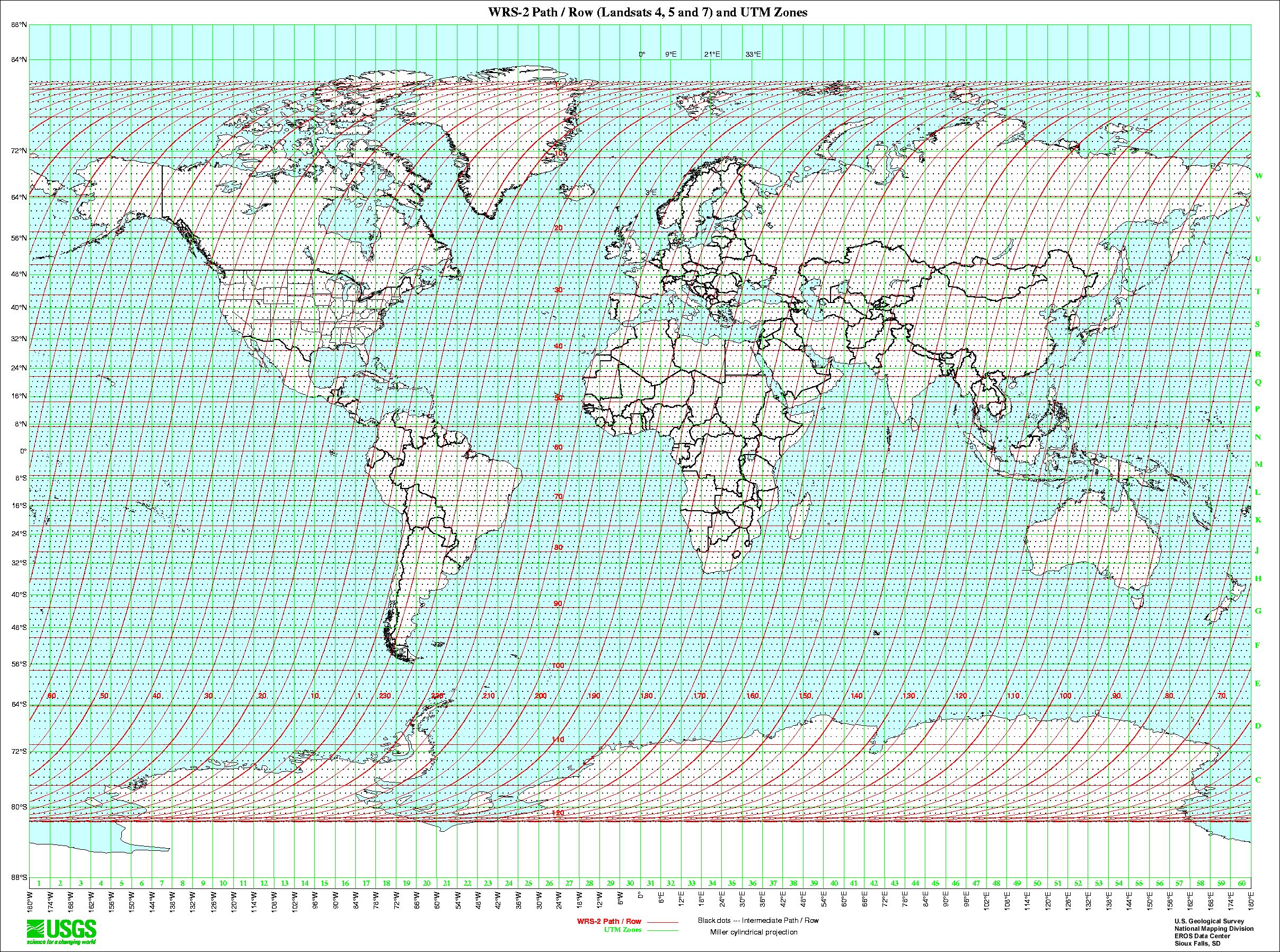
The Landsat 4, 5, and 7 Worldwide Reference System-2 (WRS-2) is an extension of the global Landsat 1 through 3 WRS-1 and utilizes an orderly Path/Row system in a similar fashion. There are, however, major differences in repeat cycles, coverage, swathing patterns and Path/Row designators due to the large orbital differences of Landsats 4 and 5 compared to Landsats 1 through 3. Landsats 4, 5 and 7 have Earth coverage similar to Landsats 1-3. However, the lower altitude results in a different swathing pattern. (Source: landsat.gsfc.nasa.gov)
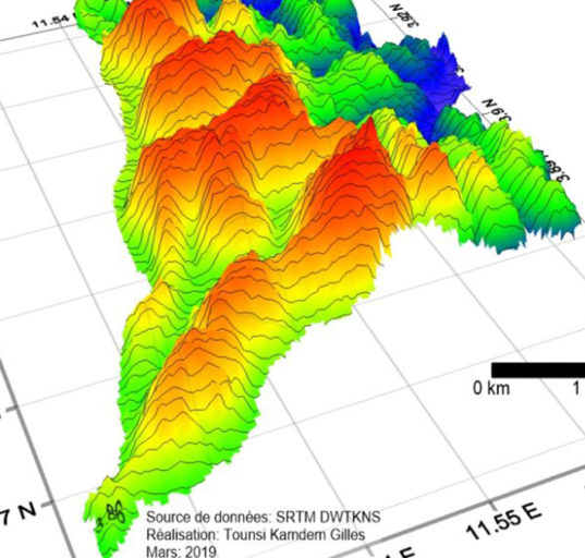
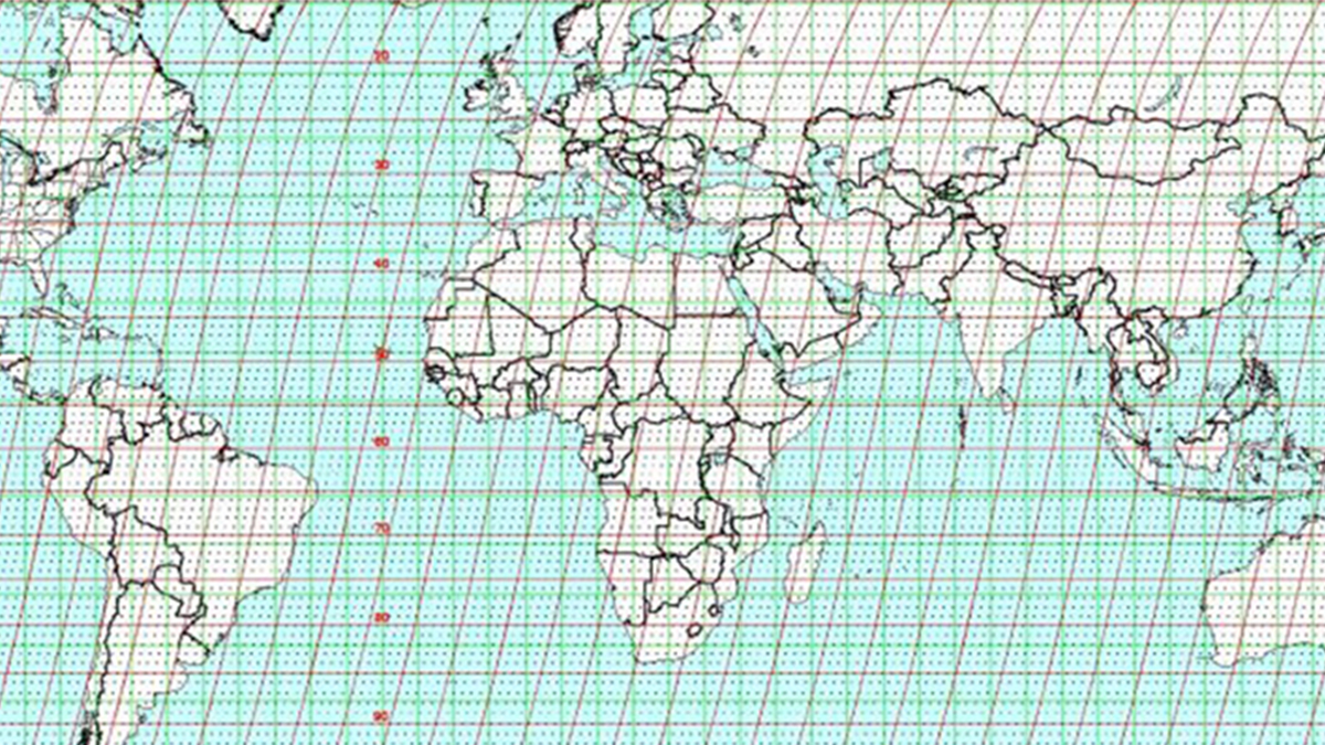
Figures below show Landsat scenes that cover Cameroon with various basemaps angles.


1 Comment