The catastrophic geomorphological processes in humid tropical africa : a case study of the recent landslide disasters in Cameroon.
By Appolinaire ZOGNING, Chrétien NGOUANET and Ojuku TIAFACK.
INTRODUCTION
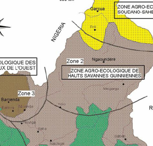
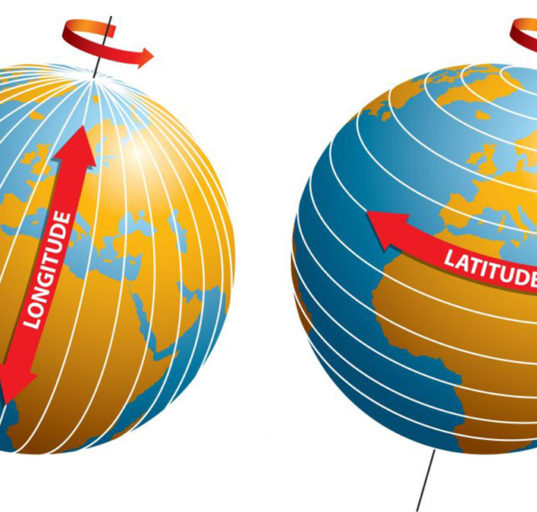
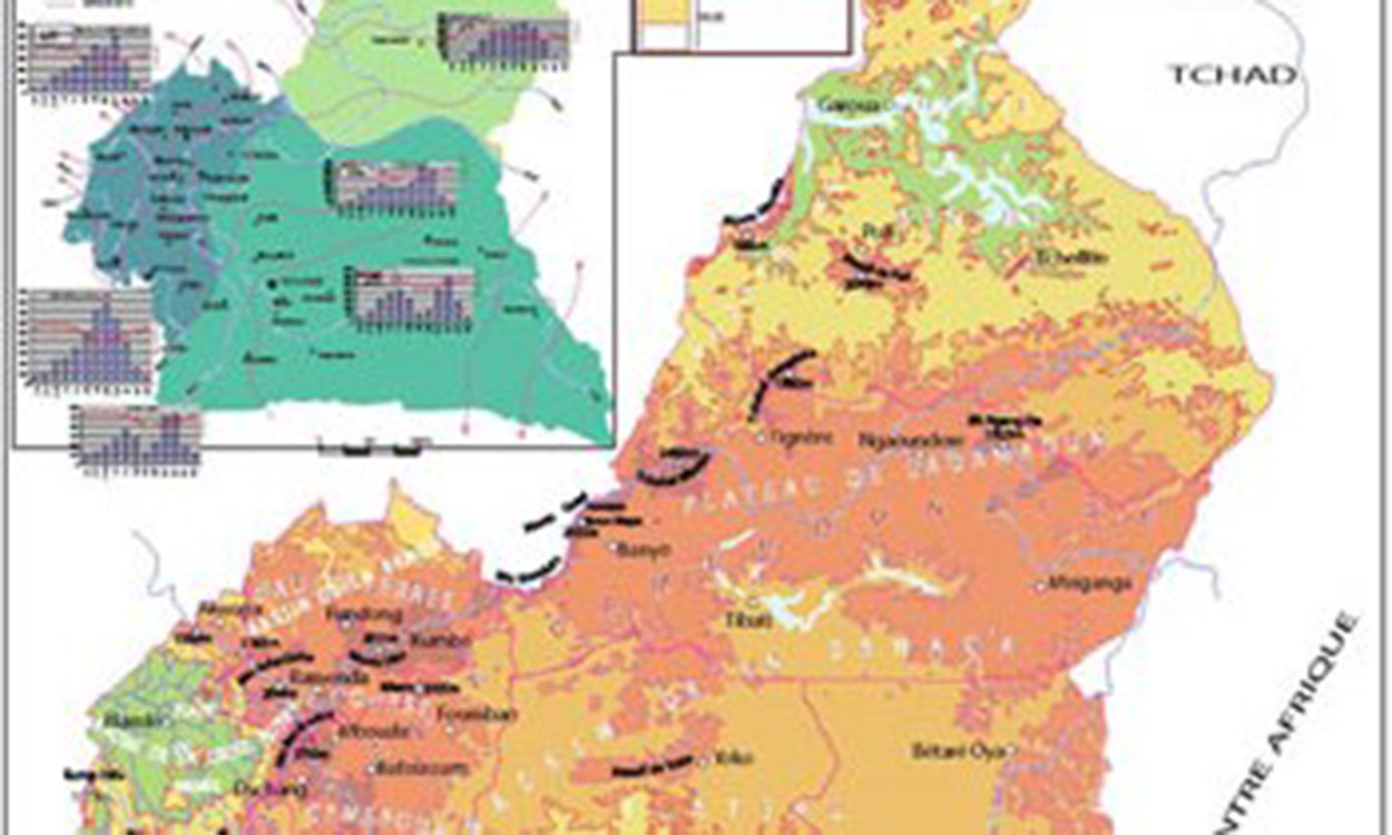
Located at the interior of the Gulf of Guinea, Cameroon extends from Latitudes 2° to 13° North and Longitudes 9° to 16° East. Better known as Africa in miniature, this country is characterised by the large diversity of its natural setting: relief, climate, vegetation, soils and geology etc.
Within the last three decades, Cameroon has experienced a number of catastrophic mass movements. These include rock fall, landslides and mudflows, both in the rural and urban areas. Examples of these scenes in urban areas occurred in 1989, 1992, 1996, and 2001 at Limbe, 1978, 1985, 1986, 1990 and 1998 at Yaoundé in 1998 at Nkongsamba, and in 2003 at Poli amongst others. In rural areas they were registered at Fossong Wetcheng in the Dschang area in 1987, Pinyin in 1991, Bafaka in 1993, Melong area in 1986, Kribi in 1987, Awae in 1998, Nwa in 2000 and Wabane (Magha and its neighbourhood) in 2003.
In many cases, these events have caused enormous damages, notably on human lives, houses, agriculture, equipment and different infrastructures.
A retrospective survey of this phenomenon indicates a net increase in their occurrence and magnitude. These are not only more and more frequent, but also increasingly severe in terms of their extent and the damage caused. One can therefore raise the following questions: Why is there an upsurge in the occurrence and magnitude of land mass movements in Cameroon? Download the full article


