


High level forum on global geospatial Management Information. Seoul, Republic of Korea, 24-26 October 2011
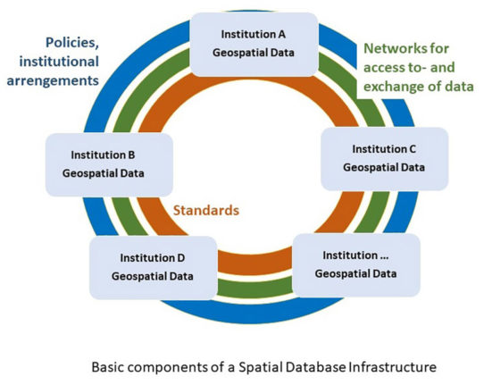
In Cameroon, there is currently no geospatial data infrastructure (NSDI). The National Institute of Cartography, with the support of the CEA, is in the process of putting foot the structure of a national geographic database of Cameroon. This structure is based on the ISO 19115 standard and its African profile.
The main entities that constitute this Database are the geographic datasets fundamental as listed by the CEA. This database project is financed by the State of Cameroon and should, as far as the structuring phase is concerned, be completed during of this year.
In addition, the State of Cameroon has undertaken with the collaboration of the Economic Commission for Africa (ECA), the Implementation of the National Spatial Data Infrastructure (National Geomatic Plan) of Cameroon. This project has as main partners the Section Geoinformation Systems (GiSS). The budget allocated for this operation is not still available.
Source : UN-GGIM
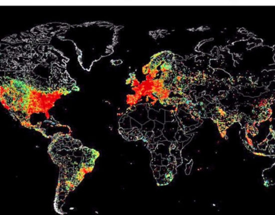
Credit photo : UN-Spider